Arikaree River Fishing Spot
- Elevation: 3333'
- Last Modified By: vinny60 on 09/08/09 06:09 PM
- Ask about Arikaree River in our Fishing Forums
Photos
Fish Species
Comments
-
Have you fished at Arikaree River? Be the first to comment on this fishing spot.
Arikaree River Description
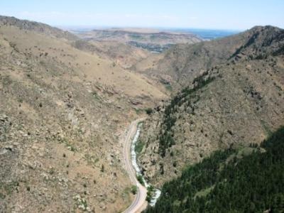
The Arikaree River is a tributary of the North Fork of the Republican River that flows mostly east out of the State of Colorado in the United States. In its lowest reach it flows for about 5 kilometers (3 miles) through the extreme northwestern corner of the State of Kansas and for about 16 kilometers (10 miles) through the southwestern portion of the State of Nebraska to its mouth near the town of Haigler where it joins the North Fork of the Republican River. The river is named for the Arikara group of Native Americans. The point where the Arikaree River flows out of Yuma County, Colorado, and into Cheyenne County, Kansas, is the lowest point in the State of Colorado at 1,010 meters (3,315 feet) elevation. This crossing point holds the distinction of being the highest low point of any U.S. state Only 3 miles of the Arikaree River are within the state's borders. The river runs from Colorado, across the extreme corner of Kansas, and into Nebraska. Here the shortgrass prairie is dotted with yucca and prickly pear cactus. Tracks of mule deer and coyote are frequently seen in the sand along the roads. Lesser earless lizards are also common in these sandy areas. This scenic drive through the far northwestern corner of Kansas takes travelers into the unique "badlands" near the Arikaree River and gives them a view of the eroded breaks. The scenic road (which may not be passable if muddy) travels up and over the rock formation locally known as Devil's Cap.
The Arikaree River is a tributary of the North Fork of the Republican River that flows mostly east out of the State of Colorado in the United States. In its lowest reach it flows for about 5 kilometers (3 miles) through the extreme northwestern corner of the State of Kansas and for about 16 kilometers (10 miles) through the southwestern portion of the State of Nebraska to its mouth near the town of Haigler where it joins the North Fork of the Republican River.